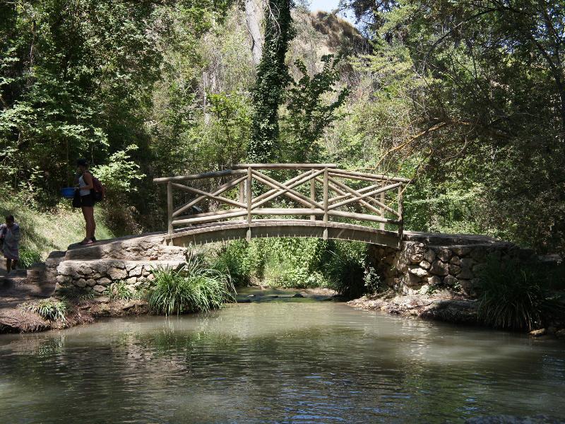
Molí de L'Ombria
Class: pre-industrial element
Type: recreation area
Municipality: Banyeres de Mariola
Basin: JÚCAR
watershed: RIO VINALOPO
Accesibility
Conservation status: good
Actual use: in use
Access: walking
Measures
Area
Units: Hectares
Area: 2
Linear
Units: meters
Length: without length
Width: 250
Height: without heigth
No volume units selected
No flow units selected
Coordinates
Longitude: -0.6613576412200928
Latitude: 38.70670796401291
Projected UTM zone: 30
SRID code: 25830
Projected UTM (x): 703352.9
Projected UTM (y): 4286826.5
Date
Type of date: century
Century: XX
The 5 closest
Fuente de los criados del Pantano de Tibi (water source): 31.882 km
Embalse de Beniarrés (reservoir): 36.475 km
Presa del embalse de Beniarrés (hydroelectric power station): 37.321 km
Llavador Pont la Bassa (laundry): 41.738 km
Font de Partegat (water well): 47.223 km
The 5 closest recreation area
Área recreativa El Termet : 190.568 km
Jardí dels sentits : 196.771 km
Borgo Calvenzano : 1462.858 km
Molí de L'Ombria
2022-03-10 jose
Description
Map
Web links
#1 : Not defined
#2 : Not defined
Media
Slideshow

Videos
Not video found
Sounds
Not audio file found