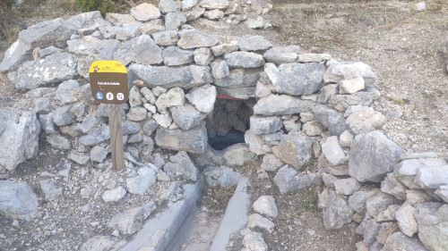
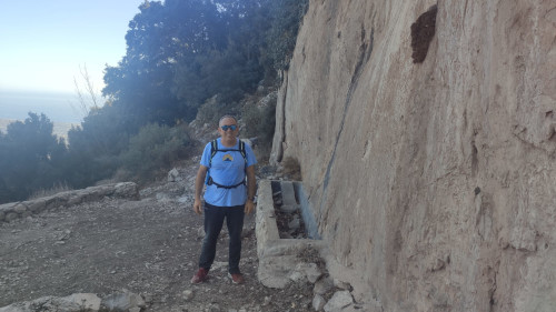
Font de ls Solsida
Class: natural element
Type: spring
Municipality: Finestrat
Basin: JÚCAR
watershed: not found
Accesibility
Conservation status: good
Actual use:
Access: walking
Measures
Area
Units: square meters
Area: 2
Linear
Units: centimeters
Length: 200
Width: 50
Height: 50
No volume units selected
No flow units selected
Coordinates
Longitude: -0.1873522996902466
Latitude: 38.602144767157085
Projected UTM zone: 30
SRID code: 25830
Projected UTM (x): 744932.1
Projected UTM (y): 4276380.2
Date
Type of date: century
Century: XXI
The 5 closest
Font de Partegat (water well): 9.934 km
Llavador Pont la Bassa (laundry): 30.965 km
Embalse de Beniarrés (reservoir): 35.233 km
Presa del embalse de Beniarrés (hydroelectric power station): 35.714 km
Parque inundable la marjal (swamp): 41.061 km
The 5 closest spring
Font de la Reina : 205.208 km
Font de ls Solsida
2024-02-27 null
Description
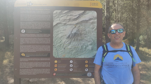
Map
Web links
Media
Slideshow

Videos
Not video found
Sounds
Not audio file found