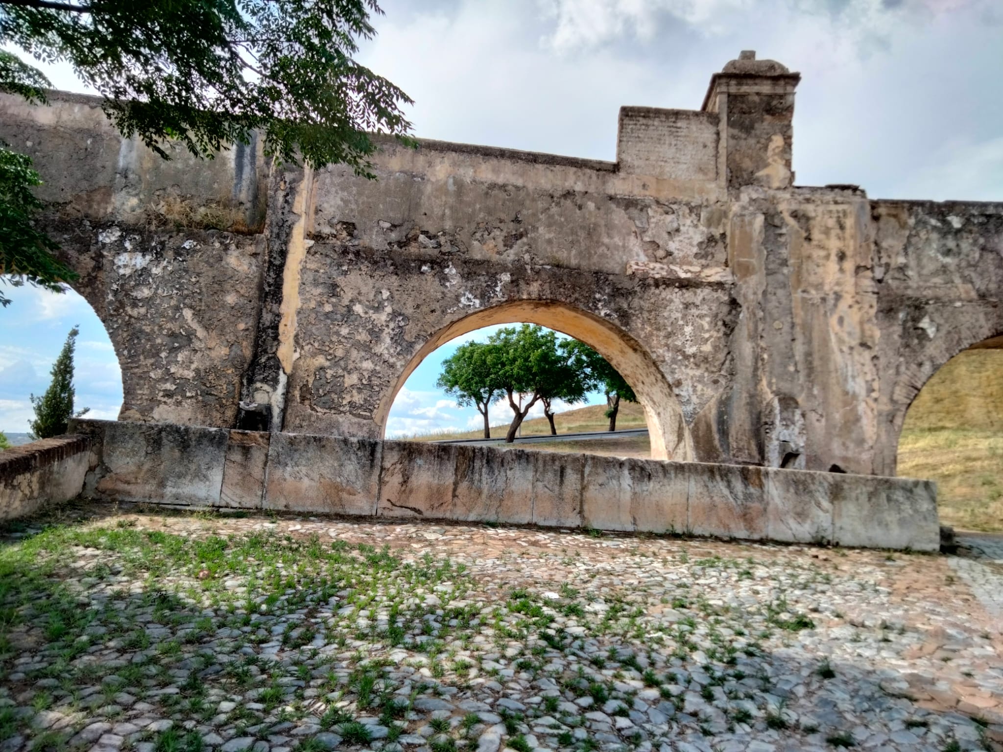
Chafariz do Aqueduto
Class: pre-industrial element
Type: water source
Municipality: Assunção, Ajuda, Salvador e Santo Ildefonso
Basin:
watershed: not found
Accesibility
Conservation status:
Actual use:
Access:
Measures
Area
No units selected
No linear units selected
No volume units selected
No flow units selected
Coordinates
Longitude: -7.169582247734071
Latitude: 38.878778621602294
Projected UTM zone: 29
SRID code: 25829
Projected UTM (x): 658775
Projected UTM (y): 4304916.9
Date
Type of date: year
Year: 1622
The 5 closest
Cisterna (reservoir): 277 m
Fonte da Biquinha (water source): 319 m
Fonte da Alameda (water source): 329 m
Aqueduct of Amoreira (aqueduct): 353 m
Fonte da Misericórdia (water source): 393 m
The 5 closest water source
Fonte da Biquinha : 319 m
Fonte da Alameda : 329 m
Fonte da Misericórdia : 393 m
Fonte de São Lourenço : 848 m
Fonte de São Vicente : 1.112 km
Chafariz do Aqueduto
2023-06-14 jose
Description
Map
Web links
#1 : Not defined
#2 : Not defined
Media
Slideshow

Videos
Not video found
Sounds
Not audio file found
water source class specific data
Ponds
# ponds: 1