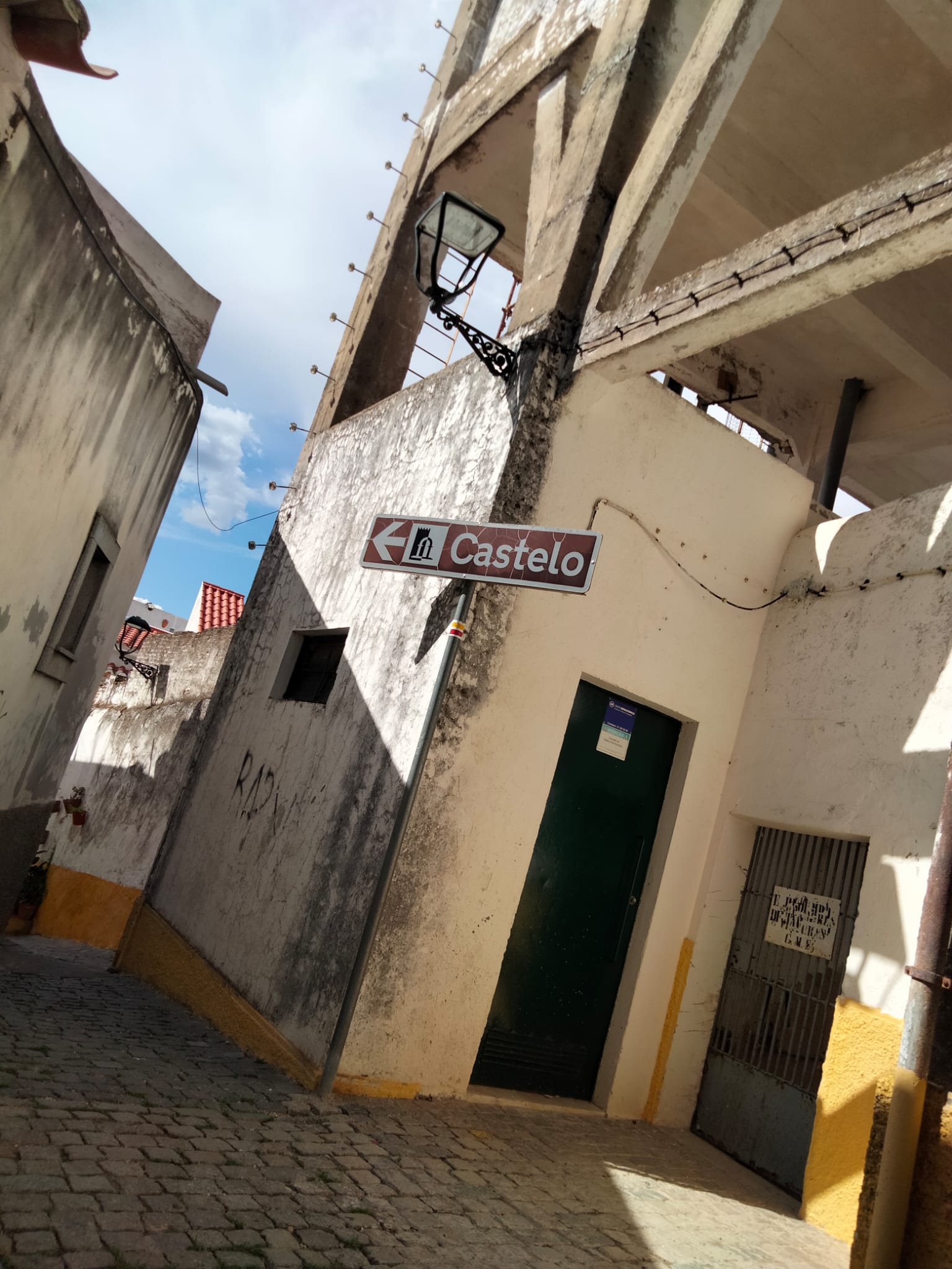
Poço de Alcalá
Class: pre-industrial element
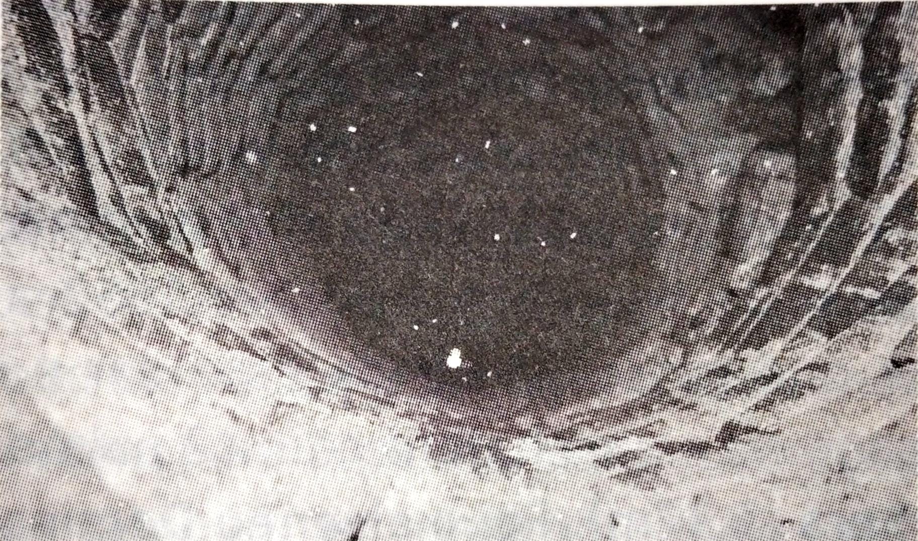
Type: water well
Municipality: Caia, São Pedro e Alcáçova
Basin:
watershed: not found
Accesibility
Conservation status:
Actual use:
Access:
Measures
Area
No units selected
No linear units selected
No volume units selected
No flow units selected
Coordinates
Longitude: -7.163504362106323
Latitude: 38.88238332596656
Projected UTM zone: 29
SRID code: 25829
Projected UTM (x): 659294.2
Projected UTM (y): 4305327.5
Date
Type of date:
The 5 closest
Fonte de São Vicente (water source): 349 m
Fonte de São Lourenço (water source): 351 m
Fonte da Prata (water source): 441 m
Fonte da Biquinha (water source): 565 m
Fonte da Misericórdia (water source): 576 m
The 5 closest water well
Fuente de la Amapola : 465.059 km
Reservorio Biblioteca : 743.788 km
Museo Universitario MUA : 743.885 km
Pozos Garrigós : 747.919 km
Font de Partegat : 771.181 km
Poço de Alcalá
2023-06-14 Elsa
Description
Map
Web links
#1 : Not defined
#2 : Not defined
Media
Slideshow

Videos
Not video found
Sounds
Not audio file found
water well class specific data
Water well measures
Units: No defined
Diameter: No defined
Depth: No defined