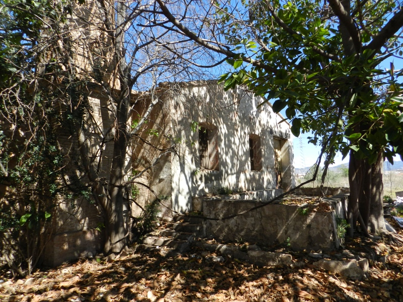
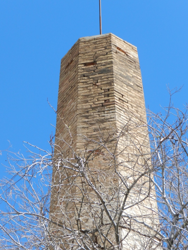
Pou La Unión Chimney
Class: civil element
Type: chimney
Municipality: Castellón de la Plana / Castelló de la Plana
Basin: JÚCAR
watershed: RIO MIJARES
Accesibility
Conservation status:
Actual use:
Access:
Measures
Area
No units selected
No linear units selected
No volume units selected
No flow units selected
Coordinates
Longitude: -0.06154764302105321
Latitude: 39.959502499278976
Projected UTM zone: 30
SRID code: 25830
Projected UTM (x): 750993
Projected UTM (y): 4427398
Date
Type of date: century
Century: XX
The 5 closest
Barranquet Aqueduct (aqueduct): 703 m
Barranc Mill (watermill): 1.115 km
Catx Mill (watermill): 2.015 km
Sequiol Partitioner (partition): 2.14 km
Censal Chimney (chimney): 2.201 km
The 5 closest chimney
Censal Chimney : 2.201 km
Pou Neptuno Chimney : 3.989 km
Quadra de Cassanya Chimney : 4.396 km
Pou del Mas de Rambla Chimney : 8.631 km
Pou La Unión Chimney
2023-05-09 jose
Description
Map
Web links
#1 : Not defined
#2 : Not defined
Media
Slideshow

Videos
Not video found
Sounds
Not audio file found