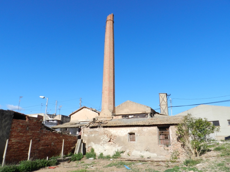
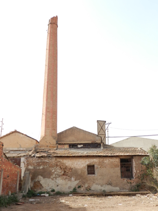
Pou Neptuno Chimney
Class: civil element
Type: chimney
Municipality: Castellón de la Plana / Castelló de la Plana
Basin: JÚCAR
watershed: not found
Accesibility
Conservation status:
Actual use:
Access:
Measures
Area
No units selected
No linear units selected
No volume units selected
No flow units selected
Coordinates
Longitude: -0.06360426025979492
Latitude: 39.98692022659084
Projected UTM zone: 30
SRID code: 25830
Projected UTM (x): 750717
Projected UTM (y): 4430436
Date
Type of date: century
Century: XX
The 5 closest
Fuente de agua potable (water source): 1.028 km
Jardí dels sentits (recreation area): 1.164 km
Ditch of the Pantà (canal): 1.773 km
Quadra de Cassanya Chimney (chimney): 1.98 km
Casalduch Mill (watermill): 2.781 km
The 5 closest chimney
Quadra de Cassanya Chimney : 1.98 km
Censal Chimney : 2.86 km
Pou La Unión Chimney : 3.989 km
Pou del Mas de Rambla Chimney : 6.473 km
Pou Neptuno Chimney
2023-05-09 jose
Description
Map
Web links
#1 : Not defined
#2 : Not defined
Media
Slideshow

Videos
Not video found
Sounds
Not audio file found