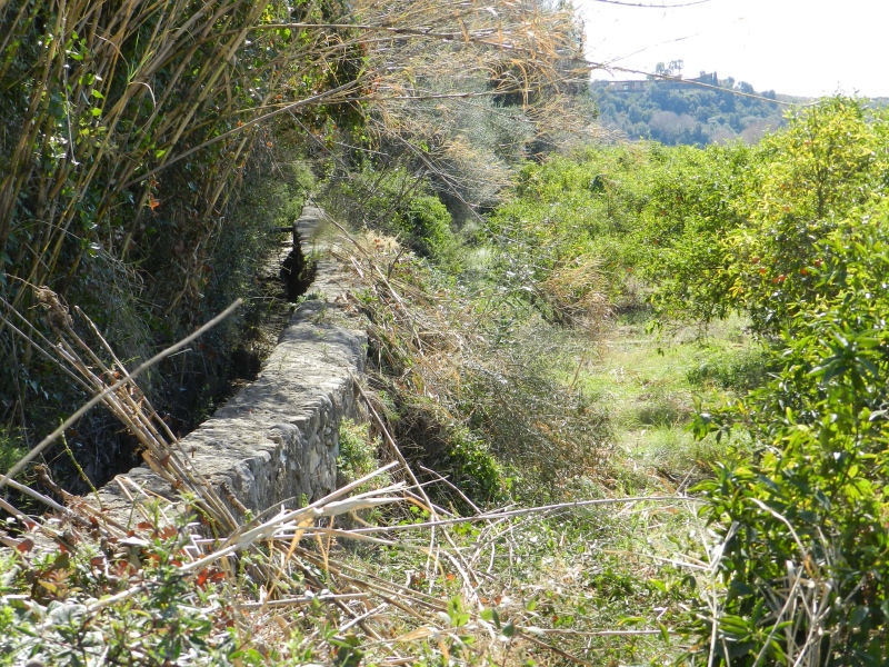
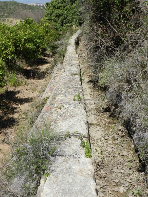
Mercader Ditch
Class: pre-industrial element
Type: canal
Municipality: Castellón de la Plana / Castelló de la Plana
Basin: JÚCAR
watershed: RIO MIJARES
Accesibility
Conservation status:
Actual use:
Access:
Measures
Area
No units selected
No linear units selected
No volume units selected
No flow units selected
Coordinates
Longitude: -0.15305344490461648
Latitude: 40.002166232349815
Projected UTM zone: 30
SRID code: 25830
Projected UTM (x): 743024.4
Projected UTM (y): 4431880.6
Date
Type of date: start/end build date
Start: 1600
End: 1700
The 5 closest
Barranc del Malvestit Aqueduct (aqueduct): 1.493 km
Mercader Mill (watermill): 1.545 km
Barranc d’Almela Aqueduct (aqueduct): 2.961 km
Pou del Mas de Rambla Chimney (chimney): 3.753 km
Maria Cristina Swamp (swamp): 3.979 km
The 5 closest canal
Foment Ditch : 4.96 km
Ditch of the Pantà : 8.6 km
Rambla de la Viuda Ditch : 10.028 km
Mined Ditch of Castelló : 11.669 km
Major de Castelló Ditch : 14.301 km
Mercader Ditch
2023-05-09 jose
Description
Map
Web links
#1 : Not defined
#2 : Not defined
Media
Slideshow

Videos
Not video found
Sounds
Not audio file found