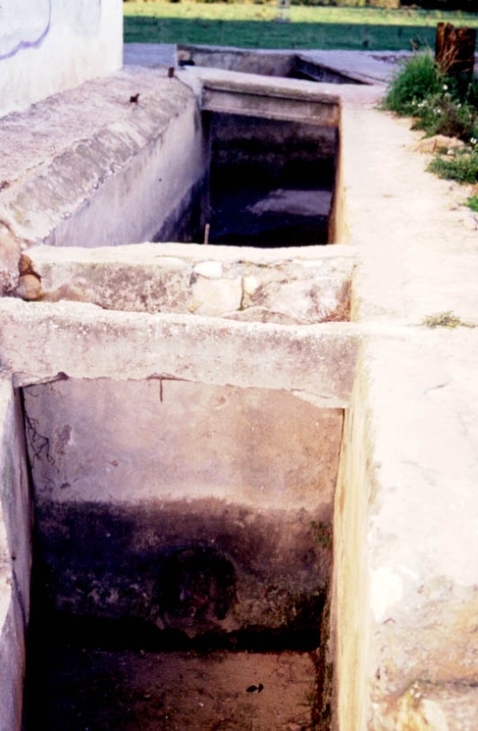
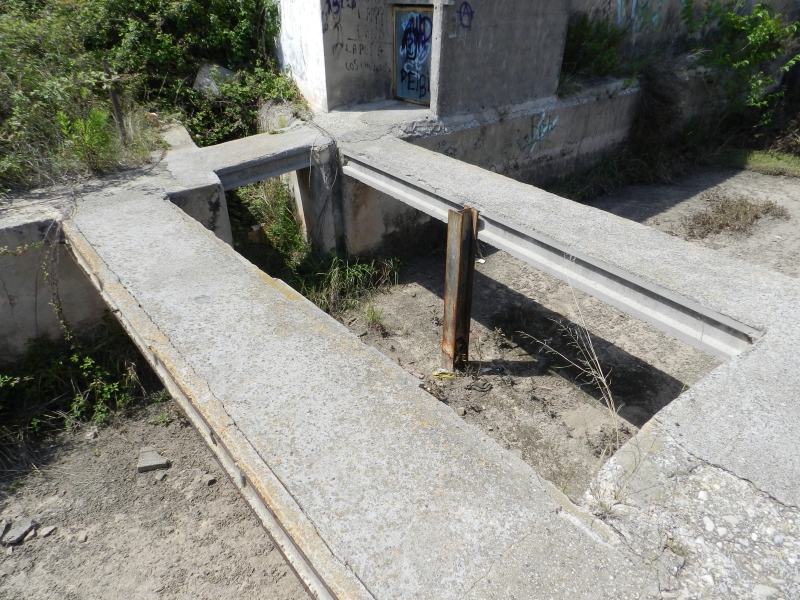
Mitjana Partitioner
Class: pre-industrial element
Type: partition
Municipality: Castellón de la Plana / Castelló de la Plana
Basin: JÚCAR
watershed: not found
Accesibility
Conservation status:
Actual use:
Access:
Measures
Area
No units selected
No linear units selected
No volume units selected
No flow units selected
Coordinates
Longitude: -0.04746843513031329
Latitude: 39.972223708337985
Projected UTM zone: 30
SRID code: 25830
Projected UTM (x): 752149
Projected UTM (y): 4428850
Date
Type of date: start/end build date
Start: 1200
End: 1500
The 5 closest
Casalduch Mill (watermill): 49 m
Censal Chimney (chimney): 224 m
Sequiol Partitioner (partition): 302 m
Major de Castelló Ditch (canal): 2.08 km
Roder Mill (watermill): 2.134 km
The 5 closest partition
Sequiol Partitioner : 302 m
Partidor de llengües Almalafa/Vinamargo : 2.235 km
Major/Coscollosa Partitioner : 2.77 km
Almalafa/Valero Partitioner : 3.078 km
Former Royal Partitioners : 4.747 km
Mitjana Partitioner
2023-05-09 jose
Description
Map
Web links
#1 : Not defined
#2 : Not defined
Media
Slideshow

Videos
Not video found
Sounds
Not audio file found