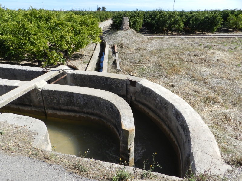
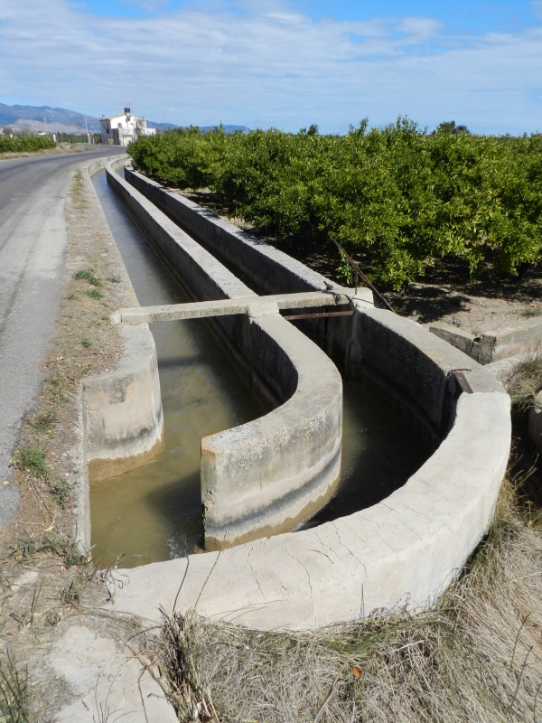
Almalafa/Valero Partitioner
Class: pre-industrial element
Type: partition
Municipality: Castellón de la Plana / Castelló de la Plana
Basin: JÚCAR
watershed: RIO MIJARES
Accesibility
Conservation status:
Actual use:
Access:
Measures
Area
No units selected
No linear units selected
No volume units selected
No flow units selected
Coordinates
Longitude: -0.04206622632510292
Latitude: 39.95144011982893
Projected UTM zone: 30
SRID code: 25830
Projected UTM (x): 752687
Projected UTM (y): 4426558
Date
Type of date: start/end build date
Start: 1600
End: 1700
The 5 closest
Babiloni Mill (watermill): 324 m
Catx Mill (watermill): 450 m
Partidor de llengües Almalafa/Vinamargo (partition): 1.303 km
Barranc Mill (watermill): 1.364 km
Barranquet Aqueduct (aqueduct): 1.819 km
The 5 closest partition
Partidor de llengües Almalafa/Vinamargo : 1.303 km
Sequiol Partitioner : 2.827 km
Mitjana Partitioner : 3.078 km
Former Royal Partitioners : 3.778 km
Major/Coscollosa Partitioner : 5.44 km
Almalafa/Valero Partitioner
2023-05-09 jose
Description
Map
Web links
#1 : Not defined
#2 : Not defined
Media
Slideshow

Videos
Not video found
Sounds
Not audio file found