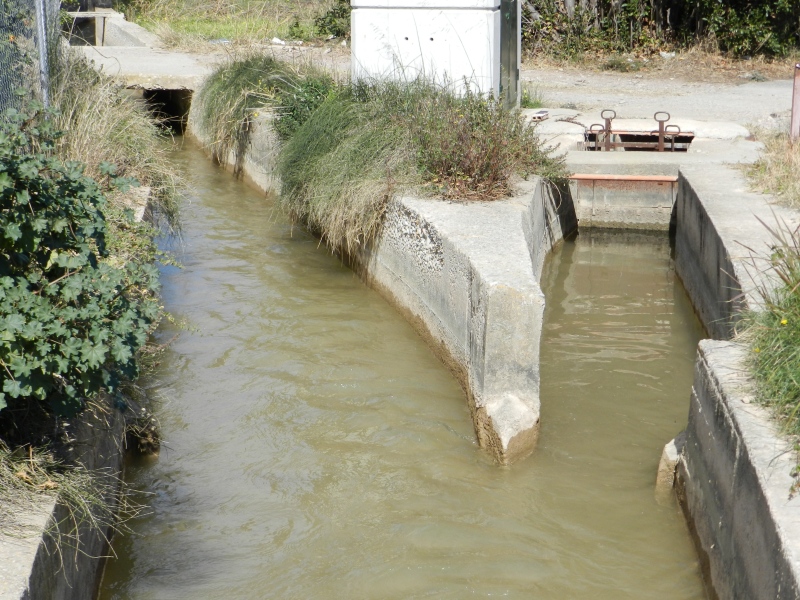
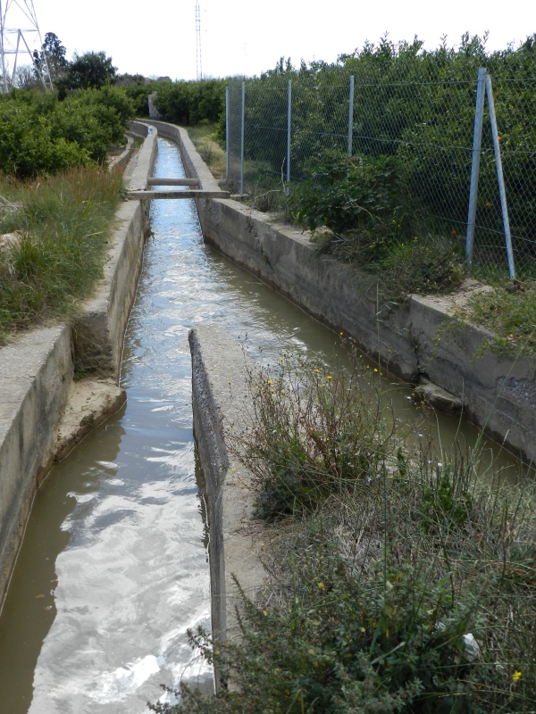
Partidor de llengües Almalafa/Vinamargo
Class: pre-industrial element
Type: partition
Municipality: Castellón de la Plana / Castelló de la Plana
Basin: JÚCAR
watershed: RIO MIJARES
Accesibility
Conservation status:
Actual use:
Access:
Measures
Area
No units selected
No linear units selected
No volume units selected
No flow units selected
Coordinates
Longitude: -0.03650526255286727
Latitude: 39.95933288288178
Projected UTM zone: 30
SRID code: 25830
Projected UTM (x): 753133
Projected UTM (y): 4427450
Date
Type of date: century
Century: XX
The 5 closest
Babiloni Mill (watermill): 990 m
Almalafa/Valero Partitioner (partition): 1.303 km
Catx Mill (watermill): 1.397 km
Barranc Mill (watermill): 1.979 km
Sequiol Partitioner (partition): 2.073 km
The 5 closest partition
Almalafa/Valero Partitioner : 1.303 km
Sequiol Partitioner : 2.073 km
Mitjana Partitioner : 2.235 km
Major/Coscollosa Partitioner : 4.232 km
Former Royal Partitioners : 4.674 km
Partidor de llengües Almalafa/Vinamargo
2023-05-09 jose
Description
Map
Web links
#1 : Not defined
#2 : Not defined
Media
Slideshow

Videos
Not video found
Sounds
Not audio file found