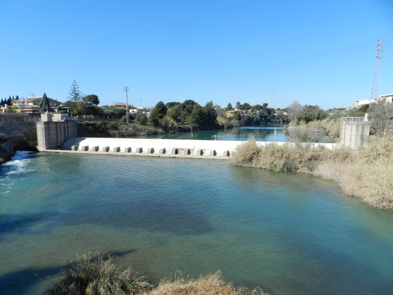
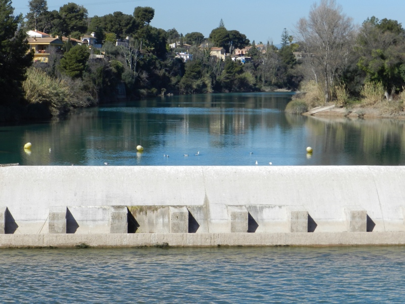
Santa Quitèria Swamp
Class: civil element
Type: swamp
Municipality: Vila-real
Basin: JÚCAR
watershed: RIO MIJARES
Accesibility
Conservation status:
Actual use:
Access:
Measures
Area
No units selected
No linear units selected
No volume units selected
No flow units selected
Coordinates
Longitude: -0.09607083107995794
Latitude: 39.953887544591595
Projected UTM zone: 30
SRID code: 25830
Projected UTM (x): 748064
Projected UTM (y): 4426678
Date
Type of date: century
Century: XX
The 5 closest
Puente de Santa Quiteira (bridge): 121 m
Castelló/Almassora Weir (weir): 602 m
Castelló/Almassora New Weir (weir): 663 m
Rambla de la Viuda Ditch (canal): 1.043 km
Moros Booths (weir): 2.036 km
The 5 closest swamp
Piscina municipal el Termet : 2.603 km
Maria Cristina Swamp : 13.176 km
Parque inundable la marjal : 229.184 km
Santa Quitèria Swamp
2023-05-09 jose
Description
Map
Web links
#1 : Not defined
#2 : Not defined
Media
Slideshow

Videos
Not video found
Sounds
Not audio file found