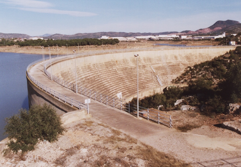
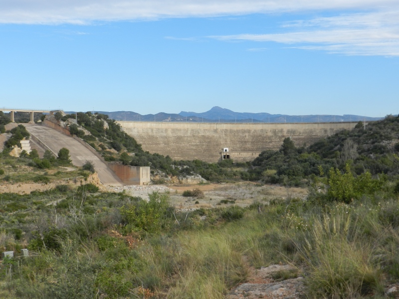
Maria Cristina Swamp
Class: civil element
Type: swamp
Municipality: Alcora, l'
Basin: JÚCAR
watershed: RIO MIJARES
Accesibility
Conservation status:
Actual use:
Access:
Measures
Area
No units selected
No linear units selected
No volume units selected
No flow units selected
Coordinates
Longitude: -0.1637354721130298
Latitude: 40.02829369157585
Projected UTM zone: 30
SRID code: 25830
Projected UTM (x): 742020
Projected UTM (y): 4434752
Date
Type of date: century
Century: XX
The 5 closest
Barranc d’Almela Aqueduct (aqueduct): 1.039 km
Mercader Mill (watermill): 2.435 km
Mercader Ditch (canal): 3.979 km
Barranc del Malvestit Aqueduct (aqueduct): 5.245 km
Pou del Mas de Rambla Chimney (chimney): 6.512 km
The 5 closest swamp
Piscina municipal el Termet : 10.898 km
Santa Quitèria Swamp : 13.176 km
Parque inundable la marjal : 238.854 km
Maria Cristina Swamp
2023-05-09 jose
Description
Map
Web links
#1 : Not defined
#2 : Not defined
Media
Slideshow

Videos
Not video found
Sounds
Not audio file found