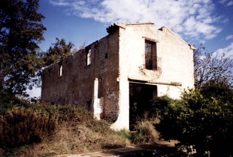
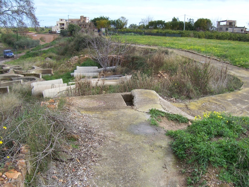
Barranc Mill
Class: pre-industrial element
Type: watermill
Municipality: Castellón de la Plana / Castelló de la Plana
Basin: JÚCAR
watershed: RIO MIJARES
Accesibility
Conservation status:
Actual use:
Access:
Measures
Area
No units selected
No linear units selected
No volume units selected
No flow units selected
Coordinates
Longitude: -0.05338109231172521
Latitude: 39.95505237508206
Projected UTM zone: 30
SRID code: 25830
Projected UTM (x): 751707
Projected UTM (y): 4426927
Date
Type of date: century
Century: XIX
The 5 closest
Barranquet Aqueduct (aqueduct): 458 m
Catx Mill (watermill): 915 m
Pou La Unión Chimney (chimney): 1.115 km
Babiloni Mill (watermill): 1.362 km
Almalafa/Valero Partitioner (partition): 1.364 km
The 5 closest watermill
Catx Mill : 915 m
Babiloni Mill : 1.362 km
Casalduch Mill : 2.624 km
Ortells Mill : 4.128 km
Arroser del Batlle Mill : 4.367 km
Barranc Mill
2023-05-09 jose
Description
Map
Web links
#1 : Not defined
#2 : Not defined
Media
Slideshow

Videos
Not video found
Sounds
Not audio file found
watermill class specific data
Roof
Roof material: No defined
Stairs
Stairs type: No defined
Machinery
Type: No defined
Status: No defined
Slab
Slab material: No defined