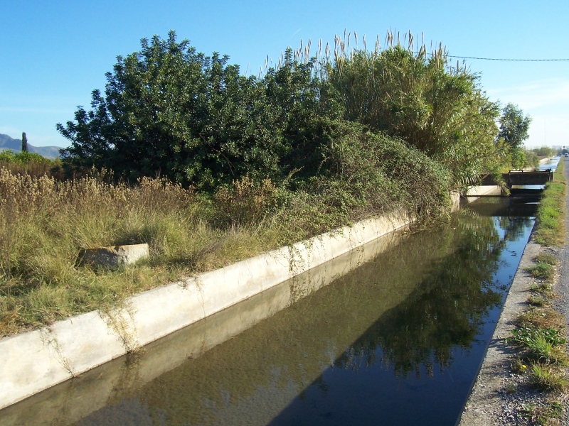
Forn de Vidre Mill
Class: pre-industrial element
Type: watermill
Municipality: Castellón de la Plana / Castelló de la Plana
Basin: JÚCAR
watershed: not found
Accesibility
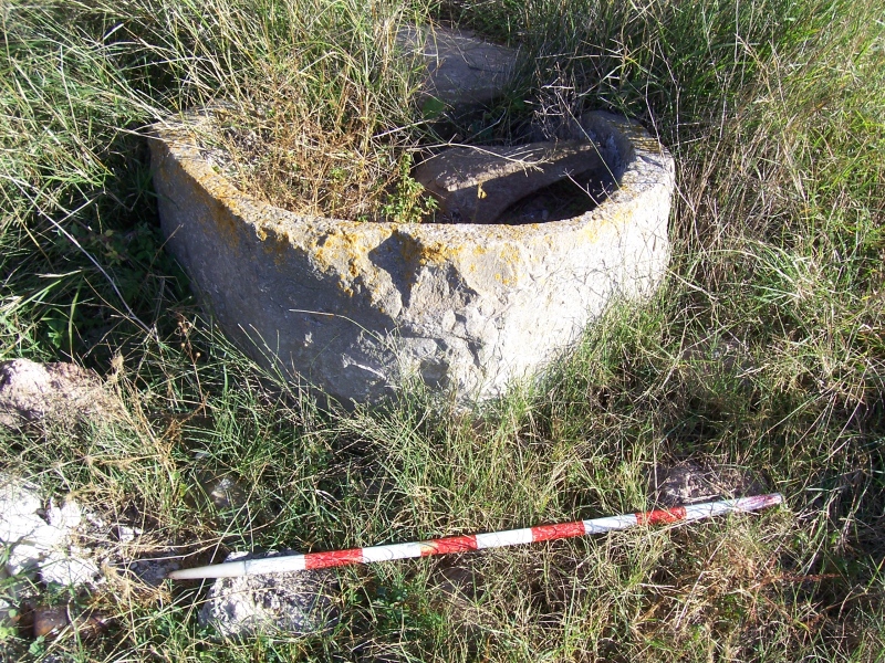
Conservation status:
Actual use:
Access:
Measures
Area
No units selected
No linear units selected
No volume units selected
No flow units selected
Coordinates
Longitude: 0.00269412101278599
Latitude: 40.0199445941739
Projected UTM zone: 31
SRID code: 25831
Projected UTM (x): 244204.9
Projected UTM (y): 4434275.5
Date
Type of date: start/end build date
Start: 1200
End: 1500
The 5 closest
Font Mill (watermill): 232 m
Font de la Reina (spring): 268 m
Romeral Mill (watermill): 4.048 km
Sec River Channel (water source): 4.236 km
Taixida Mill (watermill): 4.517 km
The 5 closest watermill
Font Mill : 232 m
Romeral Mill : 4.048 km
Darrer Mill : 4.517 km
Taixida Mill : 4.517 km
Mitjà Mill : 4.972 km
Forn de Vidre Mill
2023-05-09 jose
Description
Map
Web links
#1 : Not defined
#2 : Not defined
Media
Slideshow

Videos
Not video found
Sounds
Not audio file found
watermill class specific data
Roof
Roof material: No defined
Stairs
Stairs type: No defined
Machinery
Type: No defined
Status: No defined
Slab
Slab material: No defined