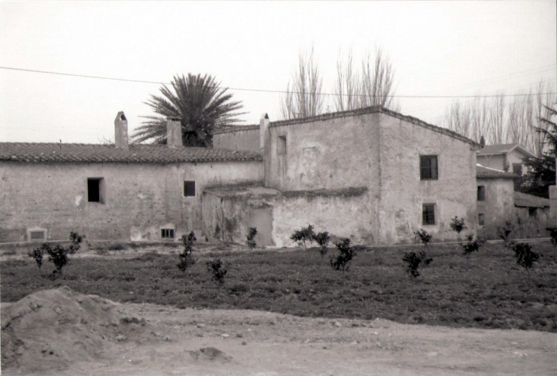
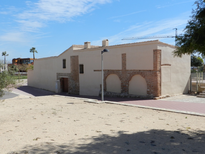
Mitjà Mill
Class: pre-industrial element
Type: watermill
Municipality: Castellón de la Plana / Castelló de la Plana
Basin: JÚCAR
watershed: not found
Accesibility
Conservation status:
Actual use:
Access:
Measures
Area
No units selected
No linear units selected
No volume units selected
No flow units selected
Coordinates
Longitude: -0.02926096435981887
Latitude: 39.996042862828865
Projected UTM zone: 30
SRID code: 25830
Projected UTM (x): 753616
Projected UTM (y): 4431546
Date
Type of date: century
Century: X
The 5 closest
Darrer Mill (watermill): 541 m
Primer Mill (watermill): 644 m
Aqueduct Sec River (aqueduct): 1.002 km
Sec River Channel (water source): 1.103 km
Toll Mill (watermill): 1.207 km
The 5 closest watermill
Darrer Mill : 541 m
Primer Mill : 644 m
Toll Mill : 1.207 km
Cervera Mill : 1.237 km
Taixida Mill : 1.347 km
Mitjà Mill
2023-05-09 jose
Description
Map
Web links
#1 : Not defined
#2 : Not defined
Media
Slideshow

Videos
Not video found
Sounds
Not audio file found
watermill class specific data
Roof
Roof material: No defined
Stairs
Stairs type: No defined
Machinery
Type: No defined
Status: No defined
Slab
Slab material: No defined