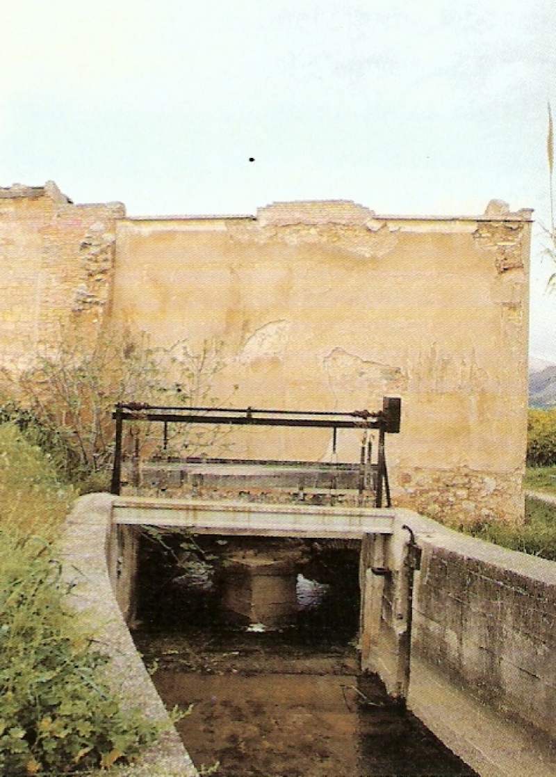
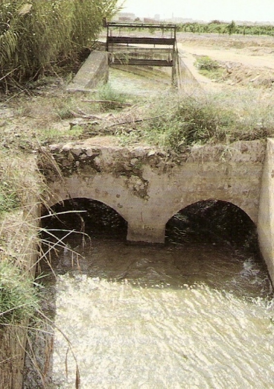
Romeral Mill
Class: pre-industrial element
Type: watermill
Municipality: Castellón de la Plana / Castelló de la Plana
Basin: JÚCAR
watershed: not found
Accesibility
Conservation status:
Actual use:
Access:
Measures
Area
No units selected
No linear units selected
No volume units selected
No flow units selected
Coordinates
Longitude: -0.03148328770757566
Latitude: 40.010431070157644
Projected UTM zone: 30
SRID code: 25830
Projected UTM (x): 753373
Projected UTM (y): 4433137
Date
Type of date: start/end build date
Start: 1200
End: 1500
The 5 closest
Sec River Channel (water source): 1.032 km
Darrer Mill (watermill): 1.615 km
Aqueduct Sec River (aqueduct): 1.942 km
Mitjà Mill (watermill): 2.106 km
Primer Mill (watermill): 2.589 km
The 5 closest watermill
Darrer Mill : 1.615 km
Mitjà Mill : 2.106 km
Primer Mill : 2.589 km
Taixida Mill : 2.943 km
Toll Mill : 3.177 km
Romeral Mill
2023-05-09 jose
Description
Map
Web links
#1 : Not defined
#2 : Not defined
Media
Slideshow

Videos
Not video found
Sounds
Not audio file found
watermill class specific data
Roof
Roof material: No defined
Stairs
Stairs type: No defined
Machinery
Type: No defined
Status: No defined
Slab
Slab material: No defined