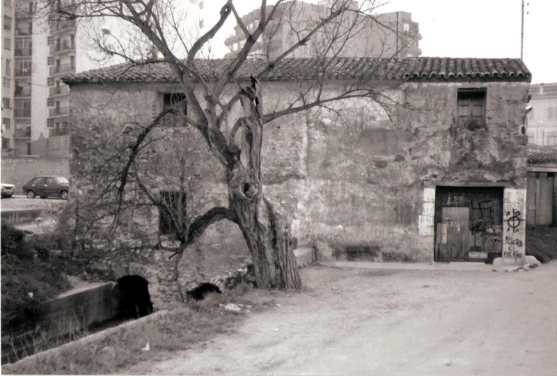
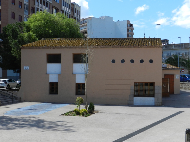
Primer Mill
Class: pre-industrial element
Type: watermill
Municipality: Castellón de la Plana / Castelló de la Plana
Basin: JÚCAR
watershed: not found
Accesibility
Conservation status:
Actual use:
Access:
Measures
Area
No units selected
No linear units selected
No volume units selected
No flow units selected
Coordinates
Longitude: -0.03299158532164977
Latitude: 39.99265253256411
Projected UTM zone: 30
SRID code: 25830
Projected UTM (x): 753310
Projected UTM (y): 4431159
Date
Type of date: start/end build date
Start: 1200
End: 1500
The 5 closest
Toll Mill (watermill): 595 m
Major/Coscollosa Partitioner (partition): 633 m
Mitjà Mill (watermill): 644 m
Aqueduct Sec River (aqueduct): 950 m
Cervera Mill (watermill): 972 m
The 5 closest watermill
Toll Mill : 595 m
Mitjà Mill : 644 m
Cervera Mill : 972 m
Darrer Mill : 1.156 km
Soterrani Mill : 1.226 km
Primer Mill
2023-05-09 jose
Description
Map
Web links
#1 : Not defined
#2 : Not defined
Media
Slideshow

Videos
Not video found
Sounds
Not audio file found
watermill class specific data
Roof
Roof material: No defined
Stairs
Stairs type: No defined
Machinery
Type: No defined
Status: No defined
Slab
Slab material: No defined