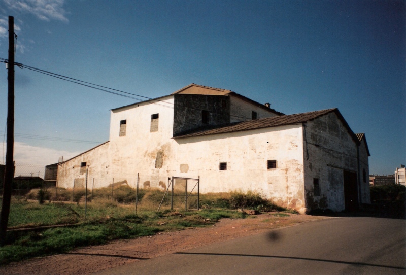
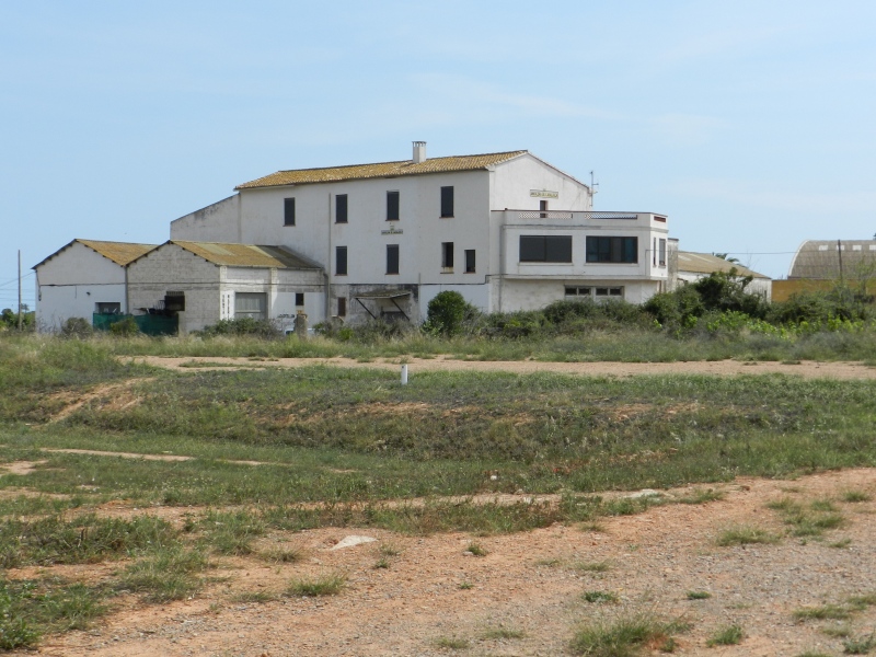
Casalduch Mill
Class: pre-industrial element
Type: watermill
Municipality: Castellón de la Plana / Castelló de la Plana
Basin: JÚCAR
watershed: not found
Accesibility
Conservation status:
Actual use:
Access:
Measures
Area
No units selected
No linear units selected
No volume units selected
No flow units selected
Coordinates
Longitude: -0.04718782862825117
Latitude: 39.972486785669275
Projected UTM zone: 30
SRID code: 25830
Projected UTM (x): 752172
Projected UTM (y): 4428880
Date
Type of date: start/end build date
Start: 1200
End: 1500
The 5 closest
Mitjana Partitioner (partition): 49 m
Censal Chimney (chimney): 273 m
Sequiol Partitioner (partition): 349 m
Major de Castelló Ditch (canal): 2.04 km
Roder Mill (watermill): 2.085 km
The 5 closest watermill
Roder Mill : 2.085 km
Gombau Mill : 2.401 km
Ortells Mill : 2.429 km
Barranc Mill : 2.624 km
Toll Mill : 2.757 km
Casalduch Mill
2023-05-09 jose
Description
Map
Web links
#1 : Not defined
#2 : Not defined
Media
Slideshow

Videos
Not video found
Sounds
Not audio file found
watermill class specific data
Roof
Roof material: No defined
Stairs
Stairs type: No defined
Machinery
Type: No defined
Status: No defined
Slab
Slab material: No defined