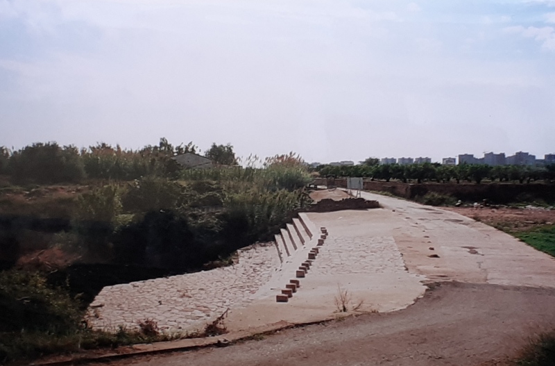
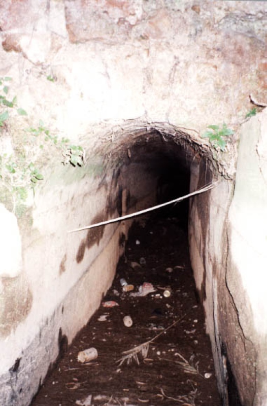
Sec River Channel
Class: pre-industrial element
Type: water source
Municipality: Castellón de la Plana / Castelló de la Plana
Basin: JÚCAR
watershed: not found
Accesibility
Conservation status:
Actual use:
Access:
Measures
Area
No units selected
No linear units selected
No volume units selected
No flow units selected
Coordinates
Longitude: -0.02883835215861375
Latitude: 40.003625494346856
Projected UTM zone: 30
SRID code: 25830
Projected UTM (x): 753624
Projected UTM (y): 4432389
Date
Type of date: century
Century: X
The 5 closest
Darrer Mill (watermill): 586 m
Romeral Mill (watermill): 1.032 km
Mitjà Mill (watermill): 1.103 km
Aqueduct Sec River (aqueduct): 1.297 km
Primer Mill (watermill): 1.66 km
The 5 closest water source
Fuente de agua potable : 4.462 km
Fuente del Pastoret d'Ortells. : 11.52 km
Fuente de los criados del Pantano de Tibi : 224.288 km
Fonte das negras : 796.131 km
Fonte do Jardim : 796.554 km
Sec River Channel
2023-05-09 jose
Description
Map
Web links
#1 : Not defined
#2 : Not defined
Media
Slideshow

Videos
Not video found
Sounds
Not audio file found
water source class specific data
Ponds
# ponds: No defined