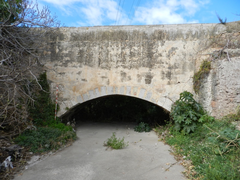
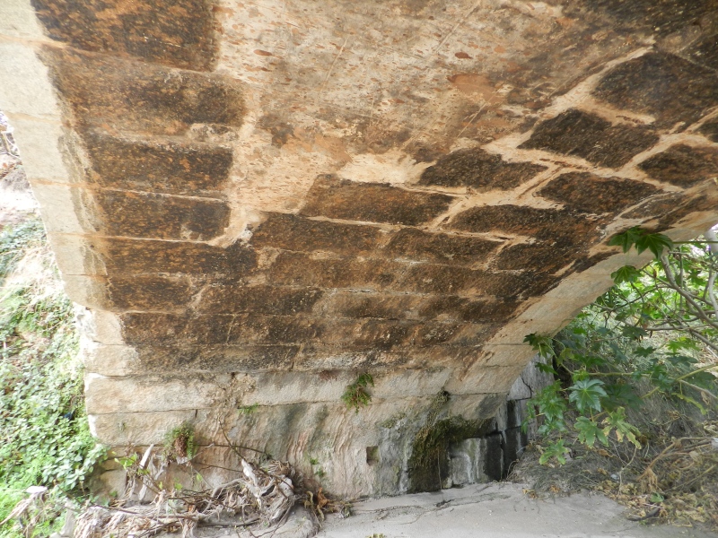
Barranquet Aqueduct
Class: civil element
Type: aqueduct
Municipality: Castellón de la Plana / Castelló de la Plana
Basin: JÚCAR
watershed: RIO MIJARES
Accesibility
Conservation status:
Actual use:
Access:
Measures
Area
No units selected
No linear units selected
No volume units selected
No flow units selected
Coordinates
Longitude: -0.05734848322612009
Latitude: 39.95588286388603
Projected UTM zone: 30
SRID code: 25830
Projected UTM (x): 751365
Projected UTM (y): 4427008
Date
Type of date: start/end build date
Start: 1100
End: 1700
The 5 closest
Barranc Mill (watermill): 458 m
Pou La Unión Chimney (chimney): 703 m
Catx Mill (watermill): 1.371 km
Babiloni Mill (watermill): 1.818 km
Almalafa/Valero Partitioner (partition): 1.819 km
The 5 closest aqueduct
Aqueduct Sec River : 6.491 km
Barranc del Malvestit Aqueduct : 11.108 km
Barranc d’Almela Aqueduct : 14.876 km
Aqueduct of Amoreira : 807.151 km
Barranquet Aqueduct
2023-05-09 jose
Description
Map
Web links
#1 : Not defined
#2 : Not defined
Media
Slideshow

Videos
Not video found
Sounds
Not audio file found
aqueduct class specific data
Bridge type
Bridge type: No defined
Material
Bridge material: No defined
Arches
# arches: No defined
Pillars
# pillars: No defined
Roof
Roof material: No defined