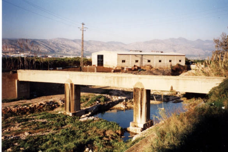
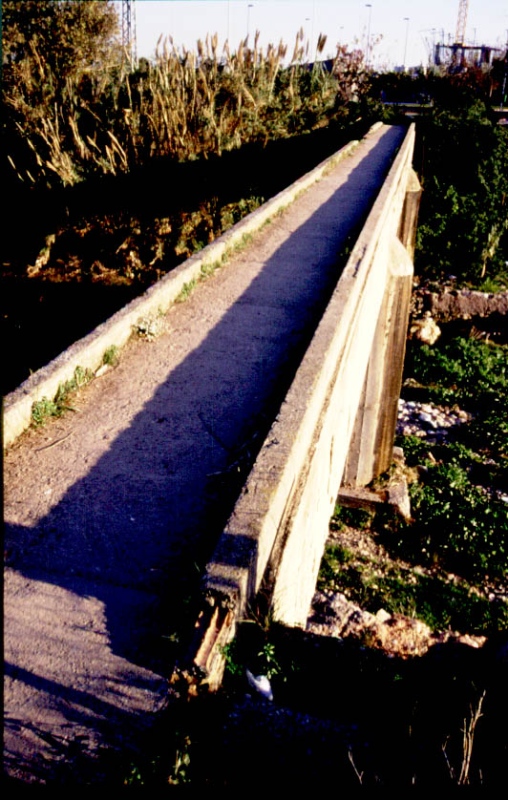
Aqueduct Sec River
Class: civil element
Type: aqueduct
Municipality: Castellón de la Plana / Castelló de la Plana
Basin: JÚCAR
watershed: not found
Accesibility
Conservation status:
Actual use:
Access:
Measures
Area
No units selected
No linear units selected
No volume units selected
No flow units selected
Coordinates
Longitude: -0.03788973237952405
Latitude: 39.998002390547995
Projected UTM zone: 30
SRID code: 25830
Projected UTM (x): 752872
Projected UTM (y): 4431739
Date
Type of date: century
Century: X
The 5 closest
Primer Mill (watermill): 950 m
Mitjà Mill (watermill): 1.002 km
Darrer Mill (watermill): 1.123 km
Sec River Channel (water source): 1.297 km
Toll Mill (watermill): 1.415 km
The 5 closest aqueduct
Barranquet Aqueduct : 6.491 km
Barranc del Malvestit Aqueduct : 11.604 km
Barranc d’Almela Aqueduct : 13.971 km
Aqueduct of Amoreira : 810.473 km
Aqueduct Sec River
2023-05-09 jose
Description
Map
Web links
#1 : Not defined
#2 : Not defined
Media
Slideshow

Videos
Not video found
Sounds
Not audio file found
aqueduct class specific data
Bridge type
Bridge type: No defined
Material
Bridge material: No defined
Arches
# arches: No defined
Pillars
# pillars: No defined
Roof
Roof material: No defined