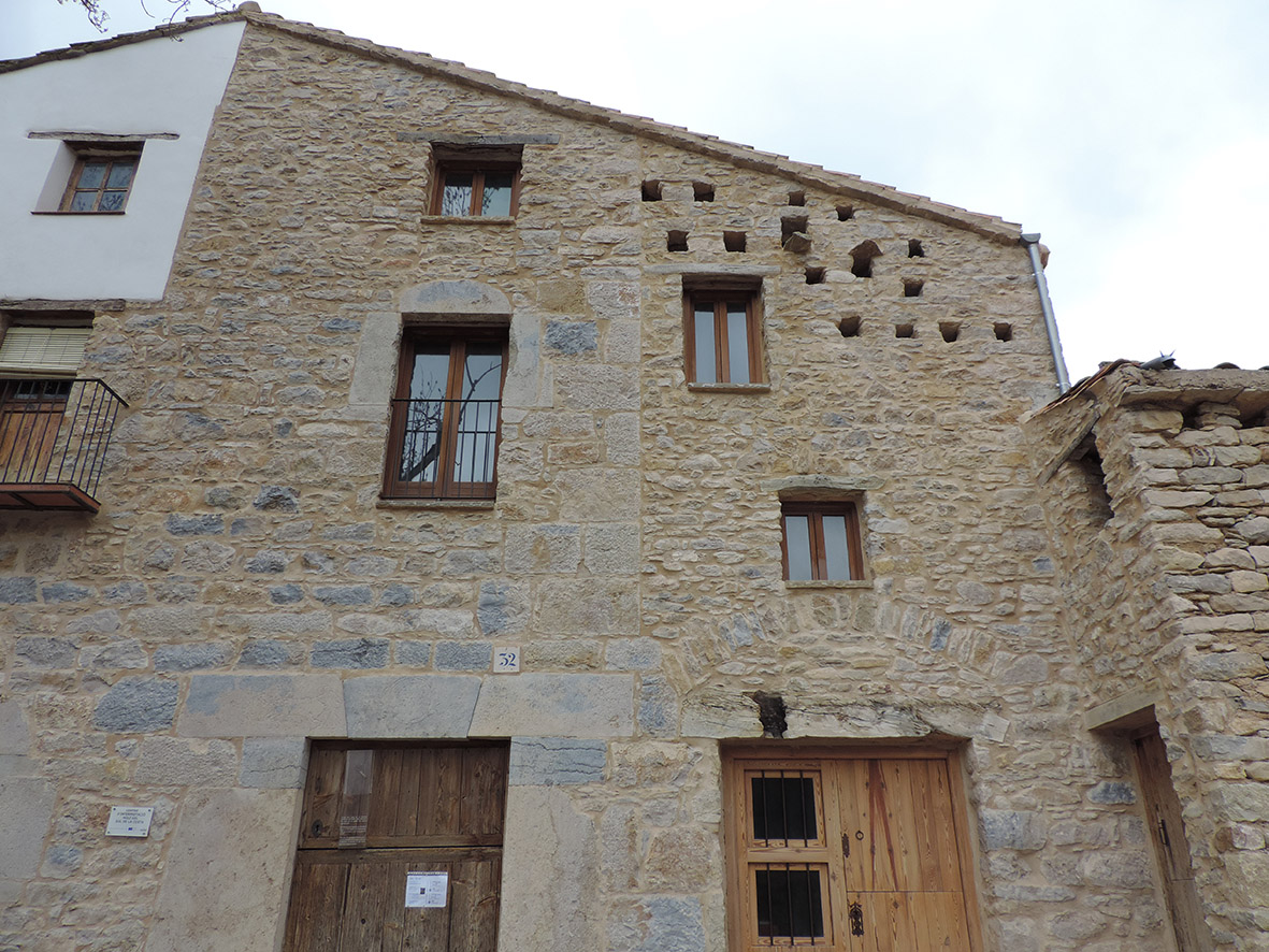
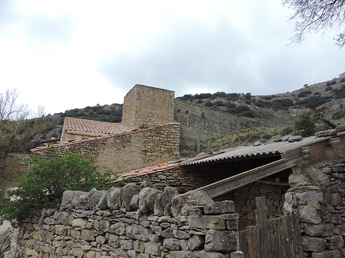
Molí del Sol de la Costa
Class: pre-industrial element
Type: watermill
Municipality: Ares del Maestrat
Basin: JÚCAR
watershed: RIO MIJARES
Accesibility
Conservation status: good
Actual use: in use
Access: walking
Measures
Area
No units selected
No linear units selected
No volume units selected
No flow units selected
Coordinates
Longitude: -0.12680411338806155
Latitude: 40.449909001401224
Projected UTM zone: 30
SRID code: 25830
Projected UTM (x): 743654.3
Projected UTM (y): 4481660
Date
Type of date: year
Year: 1798
The 5 closest
Pont de la Pobla del Bellestar (bridge): 20.639 km
Maria Cristina Swamp (swamp): 61.621 km
Barranc d’Almela Aqueduct (aqueduct): 62.513 km
Mercader Mill (watermill): 63.885 km
Font de la Reina (spring): 64.148 km
The 5 closest watermill
Mercader Mill : 63.885 km
Font Mill : 64.214 km
Forn de Vidre Mill : 64.334 km
Romeral Mill : 64.953 km
Darrer Mill : 66.563 km
Molí del Sol de la Costa
2022-05-27 null
Description
Map
Web links
#1 : Not defined
#2 : Not defined
Media
Slideshow

Videos
Not video found
Sounds
Not audio file found
watermill class specific data
Roof
Roof material: Others
Stairs
Stairs type:
Machinery
Type: Wood
Status: in use
Slab
Slab material: