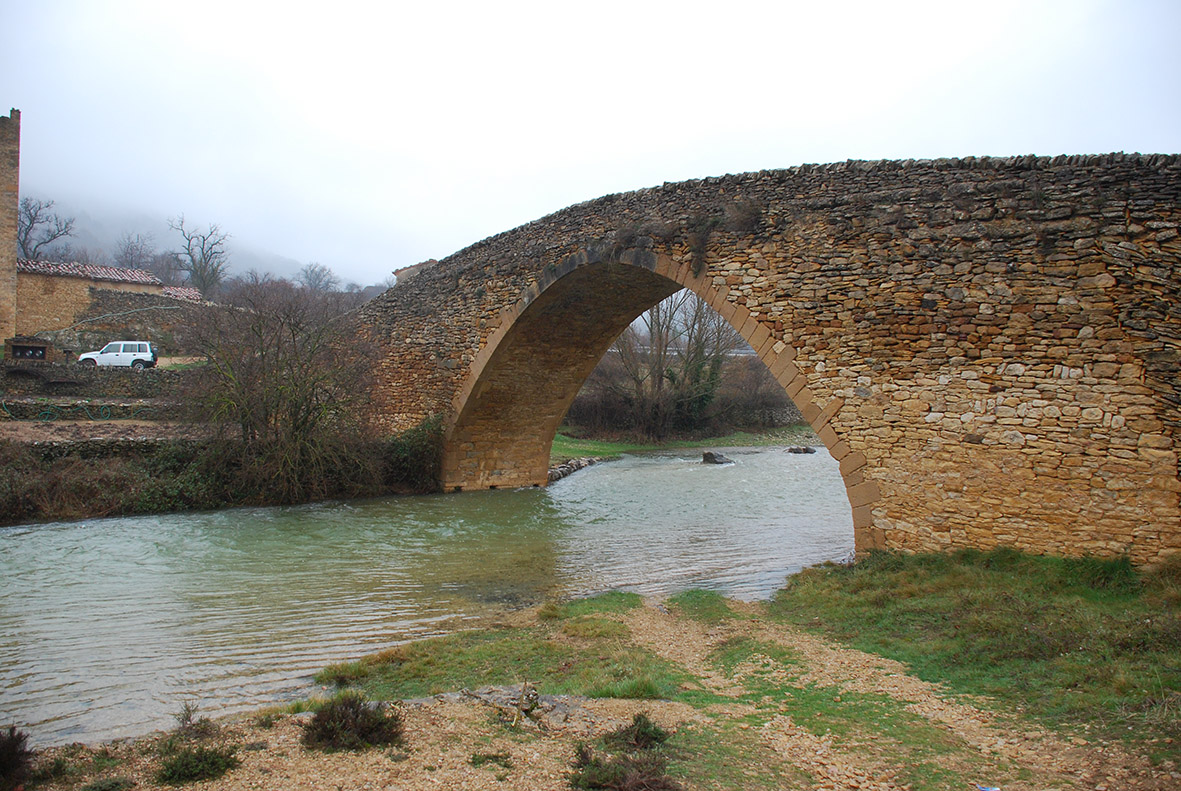
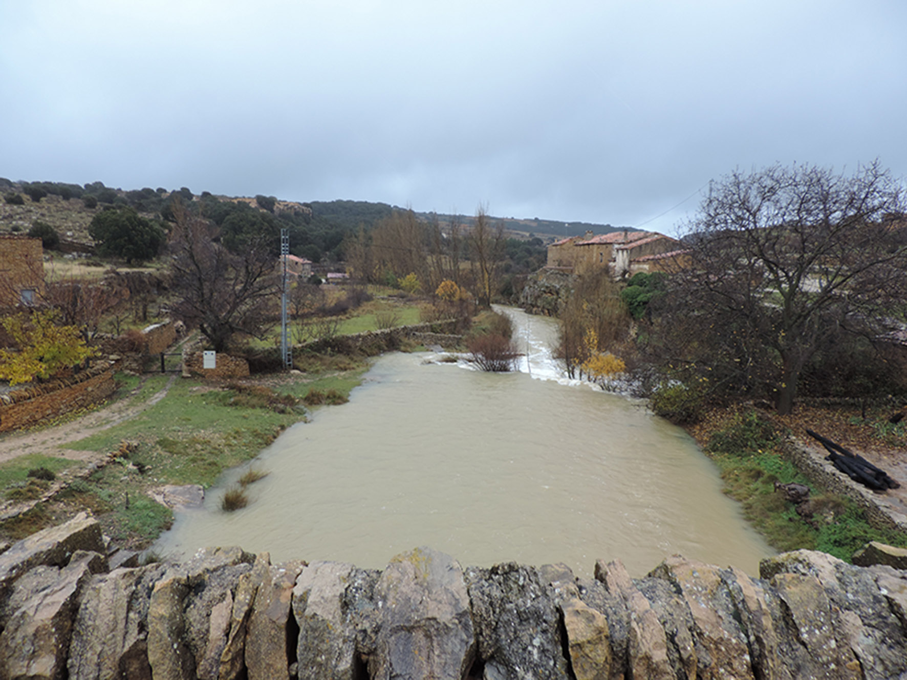
Pont de la Pobla del Bellestar
Class: civil element
Type: bridge
Municipality: Villafranca del Cid / Vilafranca
Basin: EBRO
watershed: RIO EBRO
Accesibility
Conservation status: good
Actual use: in use
Access: car
Measures
Area
No units selected
Linear
Units: meters
Length: 60
Width: 3
Height: without heigth
No volume units selected
No flow units selected
Coordinates
Longitude: -0.3112542629241944
Latitude: 40.464168838181415
Projected UTM zone: 30
SRID code: 25830
Projected UTM (x): 727962.3
Projected UTM (y): 4482750.1
Date
Type of date: century
Century: XIII
The 5 closest
Molí del Sol de la Costa (watermill): 20.639 km
Maria Cristina Swamp (swamp): 65.657 km
Barranc d’Almela Aqueduct (aqueduct): 66.671 km
Mercader Mill (watermill): 68.087 km
Mercader Ditch (canal): 69.632 km
The 5 closest bridge
Pont del Termet : 76.286 km
Puente de Santa Quiteira : 78.166 km
Ponte da Ajuda : 801.578 km
Ponte ferroviario : 1275.71 km
Ponte Tasso : 1275.816 km
Pont de la Pobla del Bellestar
2022-05-27 null
Description
Map
Web links
#1 : Not defined
#2 : Not defined
Media
Slideshow

Videos
Not video found
Sounds
Not audio file found
bridge class specific data
Bridge type
Bridge type: Gantry bridge
Material
Bridge material: Masonry
Arches
# arches: 1
Pillars
# pillars: 2
Roof
Roof material: yes