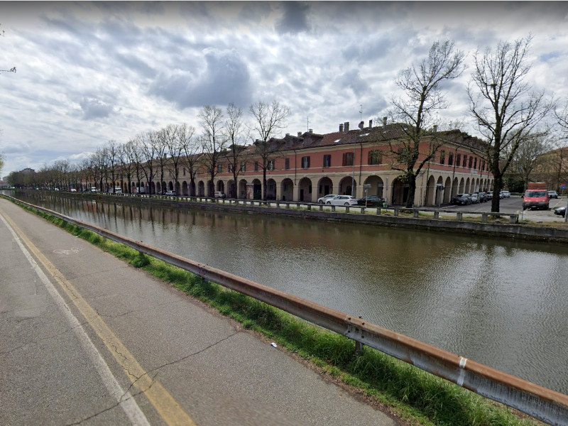
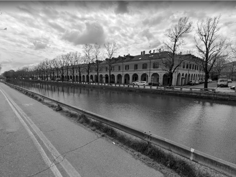
Borgo Calvenzano
Class: pre-industrial element
Type: recreation area
Municipality: Pavia
Basin: PO
watershed: TICINO
Accesibility
Conservation status: poor
Actual use: in use
Access: car
Measures
Area
Units: square meters
Area: 20000
No linear units selected
No volume units selected
No flow units selected
Coordinates
Longitude: 9.158085510134697
Latitude: 45.192686626687646
Projected UTM zone: 32
SRID code: 25832
Projected UTM (x): 512417.7
Projected UTM (y): 5004368
Date
Type of date: year
Year: 1816
The 5 closest
Hydraulic Lock (dam): 371 m
Conca di porta cairoli (dam): 530 m
Conca di Porta Cairoli (canal): 530 m
Ponte Tasso (bridge): 588 m
Ponte sul Naviglio (bridge): 874 m
The 5 closest recreation area
Jardí dels sentits : 1293.785 km
Área recreativa El Termet : 1300.881 km
Molí de L'Ombria : 1462.858 km
Borgo Calvenzano
2022-05-05 DeliaTR
Description
Map
Web links
#1 : Not defined
#2 : Not defined
Media
Slideshow

Videos
Not video found
Sounds
Not audio file found