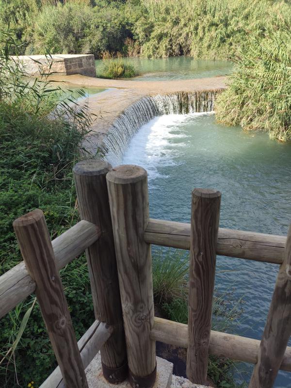
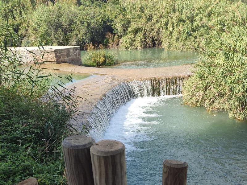
Azud de Vila-Real
Class: pre-industrial element
Type: weir
Municipality: Vila-real
Basin: JÚCAR
watershed: RIO MIJARES
Accesibility
Conservation status: good
Actual use:
Access: walking
Measures
Area
No units selected
Linear
Units: meters
Length: without length
Width: without width
Height: without heigth
No volume units selected
No flow units selected
Coordinates
Longitude: -0.11910583823919298
Latitude: 39.96143310796469
Projected UTM zone: 30
SRID code: 25830
Projected UTM (x): 746068.9
Projected UTM (y): 4427451.8
Date
Type of date: year
Year: 1307
The 5 closest
Pont del Termet (bridge): 66 m
Fuente del Pastoret d'Ortells. (water source): 284 m
Piscina municipal el Termet (swamp): 336 m
Pozo ornamental de la Virgen de Gracia (water well): 355 m
Área recreativa El Termet (recreation area): 372 m
The 5 closest weir
Azud del molino de Bisbal : 442 m
Castelló/Almassora Weir : 3.317 km
Castelló/Almassora New Weir : 3.389 km
Moros Booths : 4.821 km
Reyes House : 5.097 km
Azud de Vila-Real
2021-10-21 jose
Description
Map
Web links
#1 : https://www.regvila.com/assut
#2 : Not defined
Media
Slideshow

Videos
Not video found
Sounds
Not audio file found
weir class specific data
Machinery
Type:
Status: