
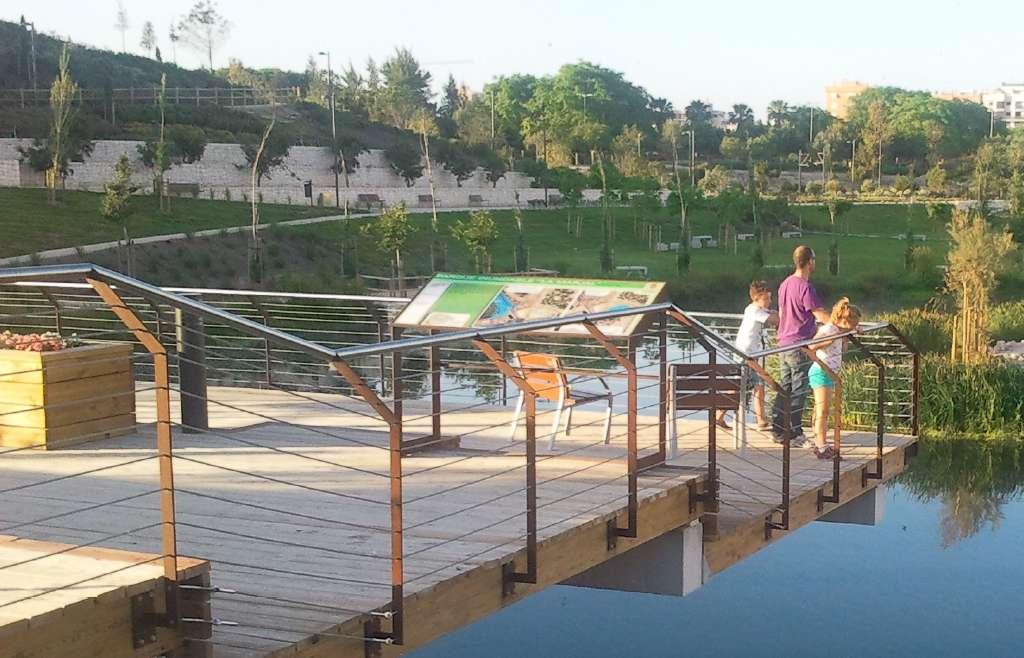
Parque inundable la marjal
Class: civil element
Type: swamp
Municipality: Alicante / Alacant
Basin: JÚCAR
watershed: not found
Accesibility
Conservation status: good
Actual use: in use
Access: walking
Measures
Area
Units: square meters
Area: 36700
Linear
Units: meters
Length: without length
Width: 200
Height: 300
Volume
Units: cubic meters
Length: 45000
No flow units selected
Coordinates
Longitude: -0.4191126871142497
Latitude: 38.37754427252459
Projected UTM zone: 30
SRID code: 25830
Projected UTM (x): 725446
Projected UTM (y): 4250859.3
Date
Type of date: year
Year: 2015
The 5 closest
Pozos Garrigós (water well): 7.972 km
Museo Universitario MUA (water well): 10.346 km
Reservorio Biblioteca (water well): 10.434 km
Llavador Pont la Bassa (laundry): 14.93 km
Fuente de los criados del Pantano de Tibi (water source): 23.04 km
The 5 closest swamp
Santa Quitèria Swamp : 229.184 km
Piscina municipal el Termet : 230.09 km
Maria Cristina Swamp : 238.854 km
Parque inundable la marjal
2021-06-04 jose
Description
Map
Web links
#1 : https://www.alicante.es/es/equipamientos/parque-marjal
#2 : Not defined
Media
Slideshow

Videos
Not video found
Sounds
Not audio file found