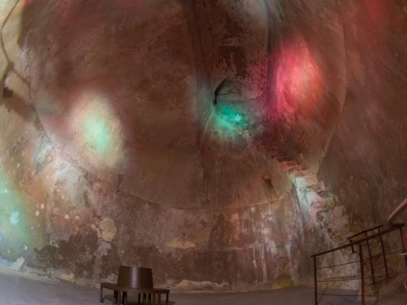
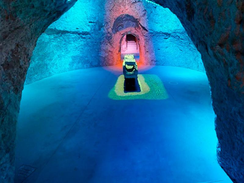
Pozos Garrigós
Class: pre-industrial element
Type: water well
Municipality: Alicante / Alacant
Basin: JÚCAR
watershed: not found
Accesibility
Conservation status: good
Actual use: disuses
Access: walking
Measures
Area
Units: square meters
Area: 25000
Linear
Units: millimeters
Length: 12
Width: 50
Height: 6
Volume
Units: cubic meters
Length: 841
Flow
Units: liters/second
Length: 841
Coordinates
Longitude: -0.4797765774733003
Latitude: 38.347704548473814
Projected UTM zone: 30
SRID code: 25830
Projected UTM (x): 720236.6
Projected UTM (y): 4247401
Date
Type of date: century
Century: XVI
The 5 closest
Museo Universitario MUA (water well): 5.953 km
Reservorio Biblioteca (water well): 6.288 km
Parque inundable la marjal (swamp): 7.972 km
Llavador Pont la Bassa (laundry): 20.297 km
Fuente de los criados del Pantano de Tibi (water source): 23.057 km
The 5 closest water well
Museo Universitario MUA : 5.953 km
Reservorio Biblioteca : 6.288 km
Font de Partegat : 51.391 km
Pozo ornamental de la Virgen de Gracia : 235.224 km
Fuente de la Amapola : 382.896 km
Pozos Garrigós
2021-06-04 jose
Description
Map
Web links
Media
Slideshow

Videos
Not video found
Sounds
Not audio file found
water well class specific data
Water well measures
Units: millimeters
Diameter: 5
Depth: 12