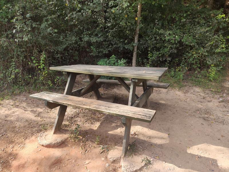
Área recreativa El Termet
Class: pre-industrial element
Type: recreation area
Municipality: Vila-real
Basin: JÚCAR
watershed: RIO MIJARES
Accesibility
Conservation status: good
Actual use: in use
Access: walking
Measures
Area
Units: Hectares
Area: 1.5
No linear units selected
No volume units selected
No flow units selected
Coordinates
Longitude: -0.11578099578319741
Latitude: 39.961696352708415
Projected UTM zone: 30
SRID code: 25830
Projected UTM (x): 746352
Projected UTM (y): 4427490.2
Date
Type of date: century
Century: XX
The 5 closest
Pozo ornamental de la Virgen de Gracia (water well): 17 m
Moli fariner de l’Ermita o Pedro Benedito (watermill): 57 m
Fuente del Pastoret d'Ortells. (water source): 89 m
Azud del molino de Bisbal (weir): 102 m
Piscina municipal el Termet (swamp): 154 m
The 5 closest recreation area
Jardí dels sentits : 7.114 km
Molí de L'Ombria : 190.568 km
Borgo Calvenzano : 1300.881 km
Área recreativa El Termet
2021-10-21 jose
Description
Map
Web links
Media
Slideshow

Videos
Not video found
Sounds
Not audio file found